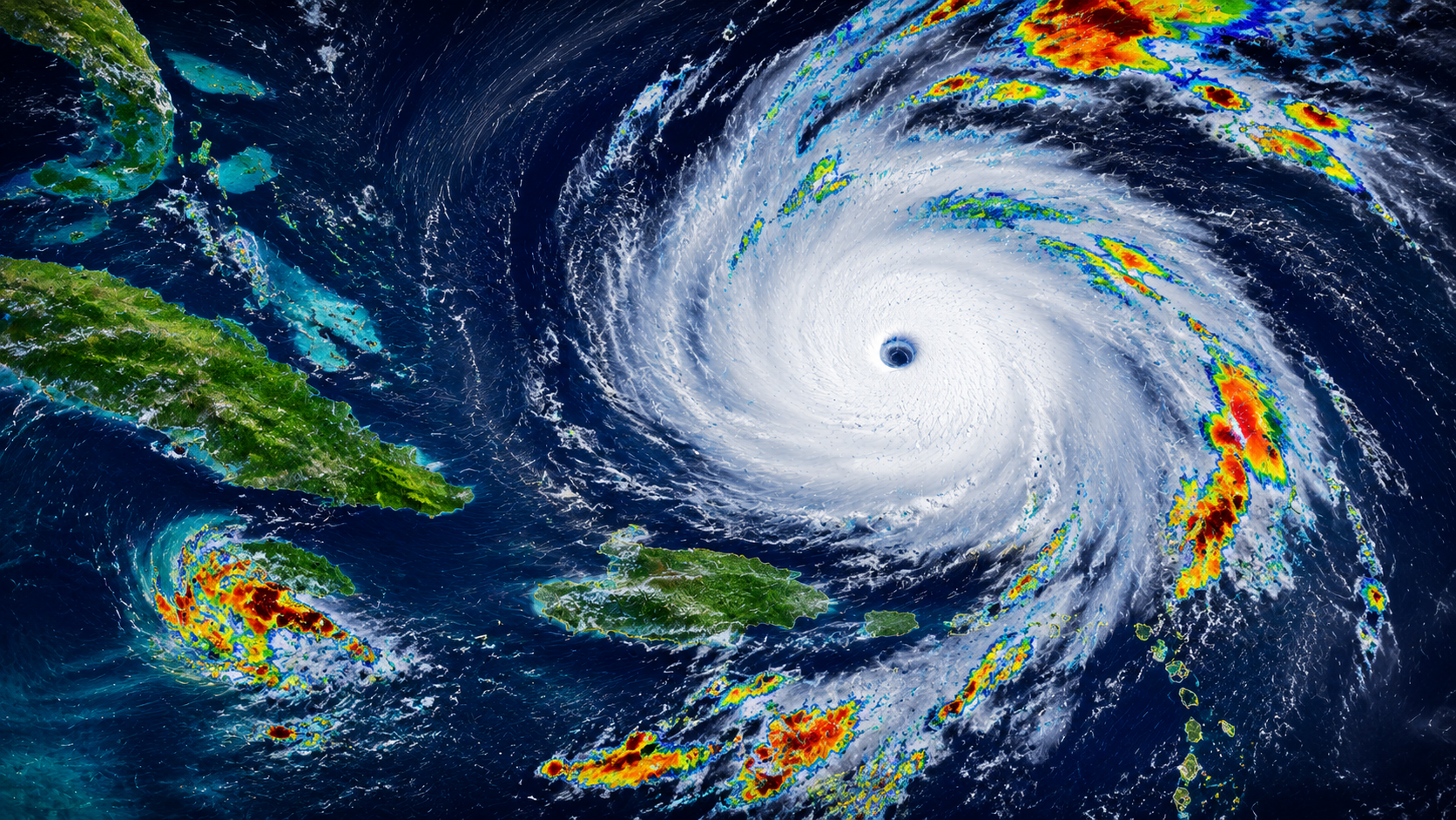
The Caribbean and southern waters of the United States are currently facing an unprecedented meteorological threat. Hurricane Beryl, an absolute Category 4 storm, is tearing through the Windward Islands, leaving a trail of heavy structural devastation before shifting its projection models directly toward Jamaica and the Cayman Islands.
National Hurricane Center (NHC) tracking maps confirm that Beryl has broken historical weather records by becoming the earliest Category 4 hurricane ever recorded in the Atlantic basin during a calendar year. With maximum sustained winds hovering near a dangerous 150 mph, emergency management teams across international borders have initiated high-alert evacuation frameworks.
Trajectory Models and Expected Mainland Impact
Meteorologists and satellite projection arrays indicate that the physical geometry of the storm is tracking along a highly volatile path:
- The Jamaica Warning: Prime Minister Andrew Holness has officially placed Jamaica under a mandatory Hurricane Warning. Island infrastructures are actively bracing for catastrophic storm surges and severe flash flooding starting early Wednesday.
- The Cayman Islands Alert: Following its path past Jamaica, current trajectory layers show Beryl moving across the Cayman Islands, prompting local authorities to secure coastal areas and maritime transit lines.
- The Texas/US Gulf Coast Question: While it is too early to determine structural mainland impacts, forecast models suggest Beryl will enter the Gulf of Mexico by the weekend. Energy platforms and coastal residents from Texas to Louisiana are closely monitoring the system.
📊 Weather Matrix: Hurricane Beryl Current Track Logistics
As emergency spending and regional evacuation protocols activate, supply chains across the Caribbean are preparing for long-term closures.
| Current Storm Category | Maximum Sustained Winds | Primary Immediate Threat Zone | Projected Mainland Destination |
| Category 4 Hurricane | 150 MPH | Jamaica & Cayman Islands | Gulf of Mexico (Weekend Approach) |
| Historical Status Record | Earliest Cat 4 in Atlantic history. | Severe storm surges greater than 6-9 feet. | Potential Texas or Mexico tracking loops. |
🙋♂️ Frequently Asked Questions (FAQs)
Q1: Where is Hurricane Beryl heading right now?
Hurricane Beryl is currently tracking northwest through the Caribbean Sea and is projected to make a direct, high-impact landfall near Jamaica and the Cayman Islands.
Q2: Is Hurricane Beryl expected to hit Texas or the US mainland?
While the exact long-range track remains uncertain, multiple meteorological forecast models suggest that the storm could enter the western Gulf of Mexico by the weekend, putting Texas and Mexico on alert.
Q3: Why is Hurricane Beryl considered a record-breaking storm?
Hurricane Beryl is officially the earliest Category 4 storm ever recorded in the Atlantic Ocean during a hurricane season, fueled by exceptionally warm ocean temperatures.